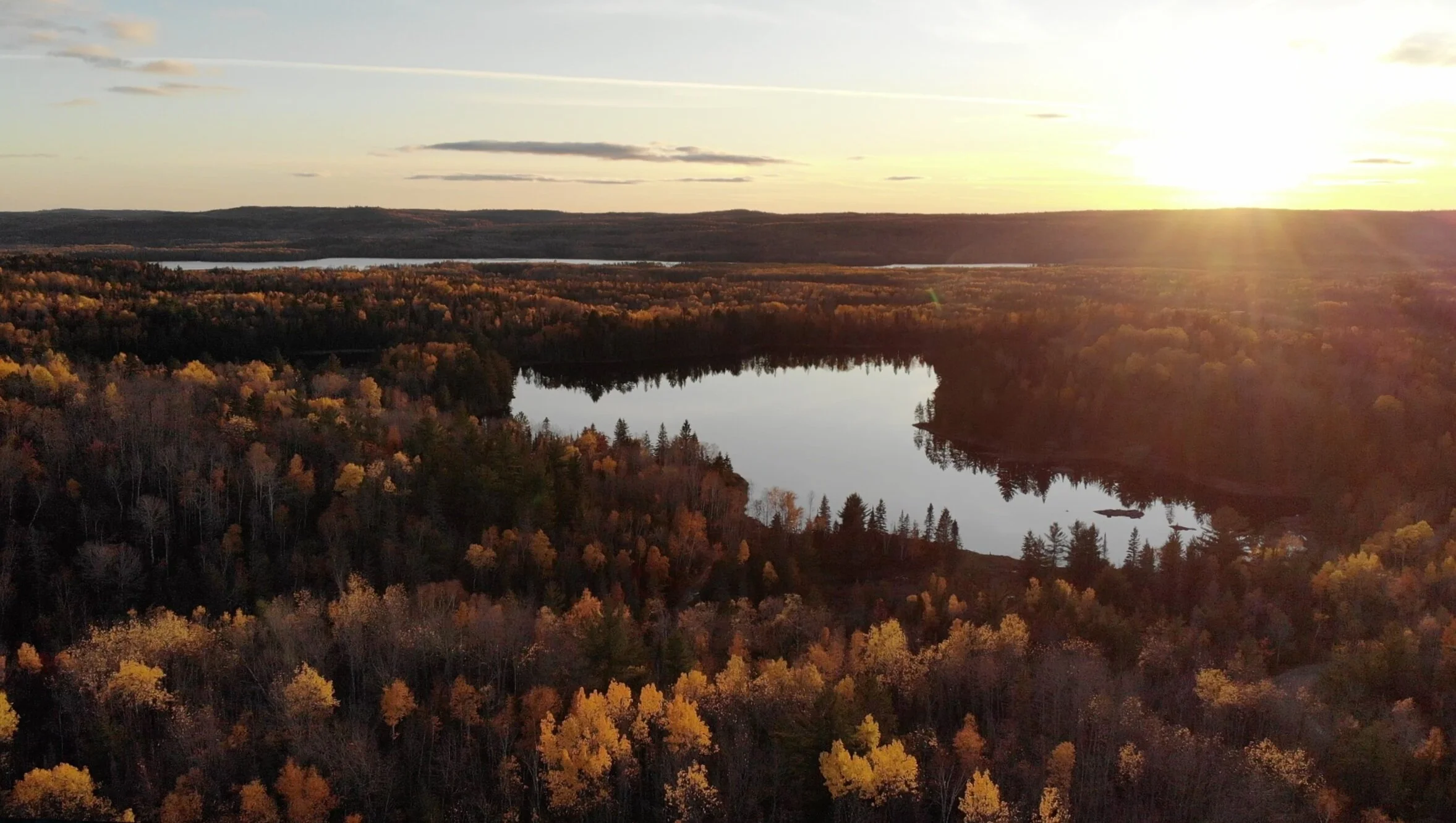
Maidens Lake Property
The Maidens lake property is located approximately 30 kms south of the town of Cobalt, in the South Lorrain Township of the Larder Lake mining district of north eastern Ontario Canada. The property has seen historical drilling, pitting, trenching, and various sampling programs.
The Maidens Lake property has the potential to host a Five Element Vein (FEV) type mineralized system; Ni-Co-As-Ag-Bi.
General Geology
Coleman Formation conglomerate, with minor feldspathetic quartzite and akrose, overlies the metavolcanics in this area. A small window of intermediate metavolcanics is exposed near the south end of the property. Nipissing Diabase is on top of the sedimentary rocks in the eastern part of the property. The diabase-sedimentary rock contact dips north at about 10 degrees and the diabase reaches a maximum thickness of about 300 feet on the north-east side of the northeast striking Maidens lake fault. To the west of this fault the diabase is approximately 20-50 feet thick.
Regional Geology
The bedrock of this group is mostly Cobalt sedimentary rocks. West of Maidens Lake all three formations of the group are found in an unusually thin sequence. Diabase underlies the north, east and west – central parts of the group. The west arms of Maidens Lake represents part of the Maidens Lake Fault.
W. Hammerstrom, prospector, (geologist, Keeley mine manager) reported a strong east striking “break” on the west side of Maidens Lake. Test pits within this area show the presence of chalcopyrite.
Striking northeast across this group are intermediate to mafic metavolcanics, overlain to the south by Coleman Formation quartzite, and intruded on the north by Nipissing Diabase. Pitting and trenching are indicated all across the property.
History
The first record of work on the property was in Burrows report (1909, p.31). He noted that “on one claim east of Loon (Maidens) Lake, a tunnel has been driven 100 feet on a strong calcite vein about a foot in width”. To the writers knowledge this property was dormant until 1949 when H. G. Miller put down two drill holes. E.B.E. de Camps acquired the property in 1952 and in 1953 put down five drill holes. One further hole was drilled in 1963. The logs for those eight holes were submitted for assessment credit and are on file at the Kirlkland lake MNDM office.

